
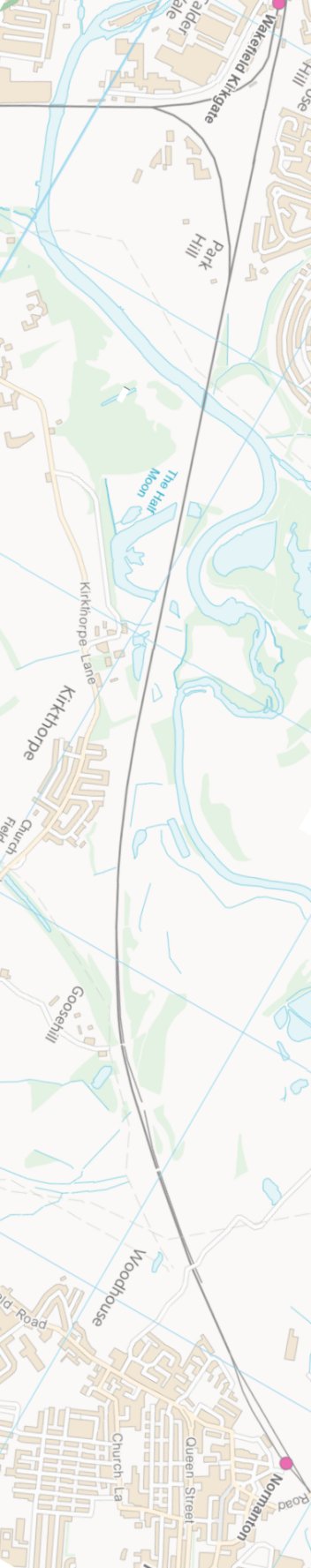
Manchester - Normanton via Todmorden: Goose Hill Junction - Normanton Station
The journey starts at Manchester Victoria and follows the Calder Valley mainline of the Lancashire & Yorkshire Railway to Normanton via Todmorden using Google Streetview images. Should you use the individual Google navigation tools, and wish to restore the page to its default views, just refresh the page.
As it takes a few seconds for each of the Google maps to be retrieved, the line is broken into sections, and generally these are station-to-station. Each Google Streetview image is presented facing the direction of travel, in this case eastwards - unless otherwise stated.
Goose Hill
Newland Lane bridge, site of Goose Hill Junction
Normantoin Station approaches from Park Green
Lower Station Road Normanton and station sign
Altofts Road Bridge looking towards Normanton Station and Manchester.
Contains Ordnance Survey data © Crown Copyright and database right 2013
Copyright J K Wallace, t/a 'Hall Royd Junction' 2013-2023 email: Hall Royd Junction
7 Portobello Close, Chesham, Bucks. HP5 2PL, UK
tel: +44 (0)7513 412880